
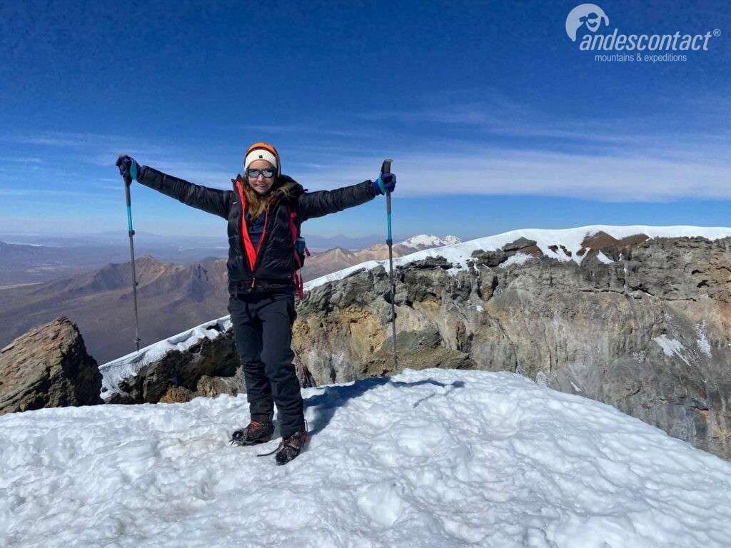
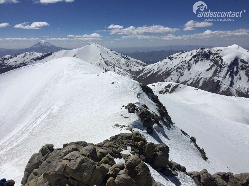
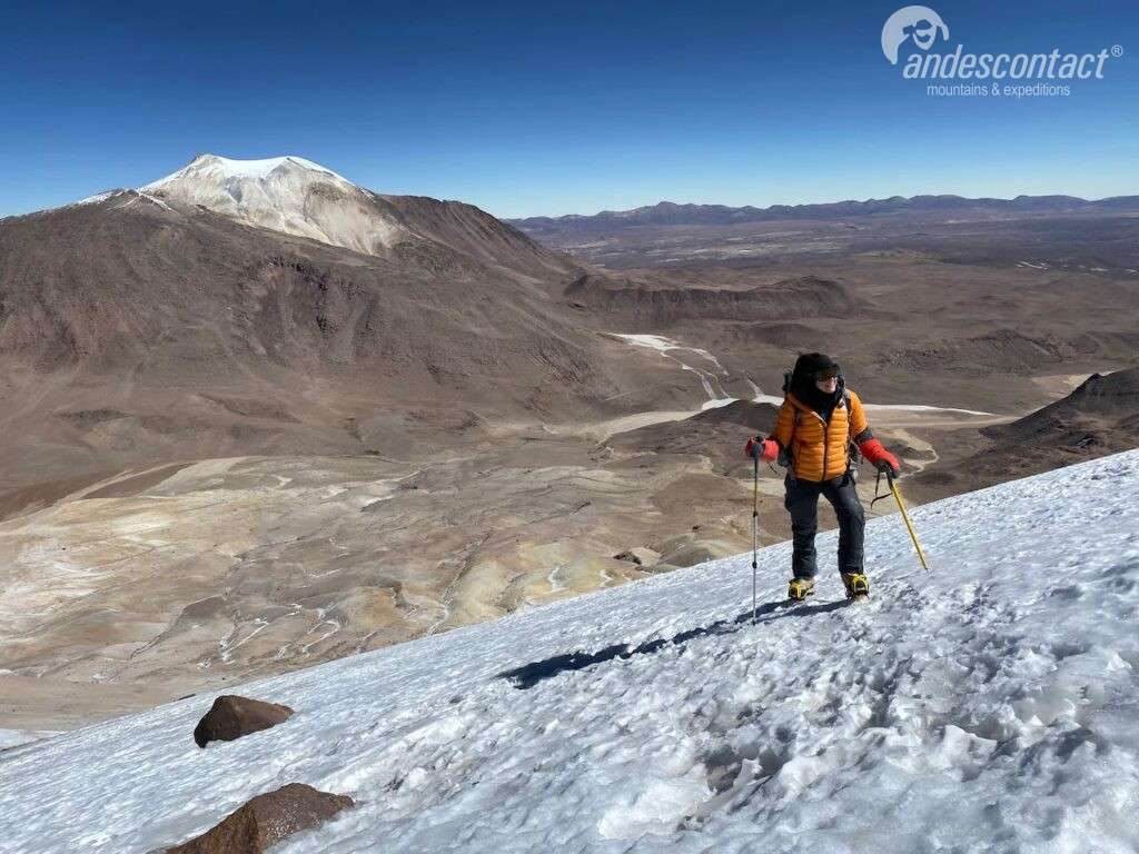
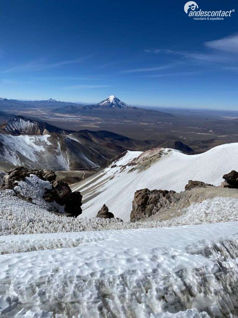
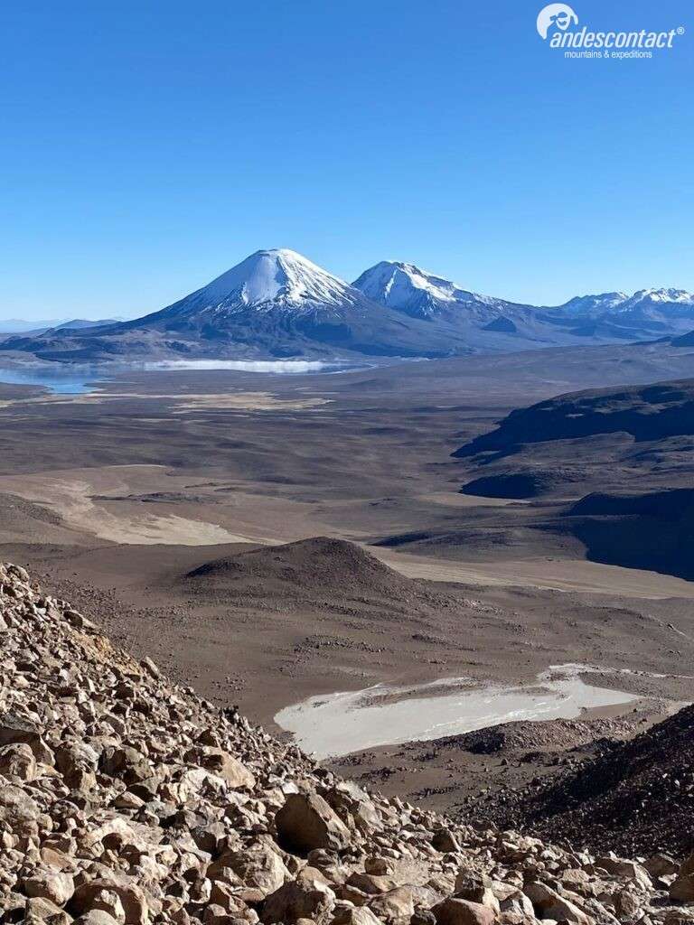
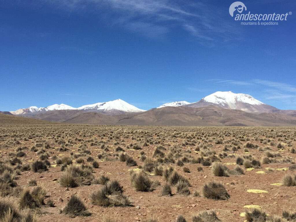
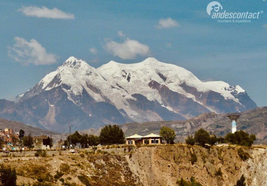
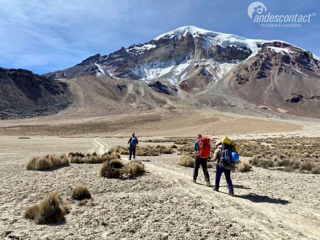
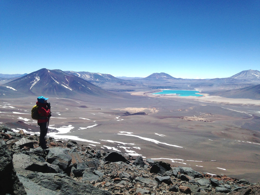
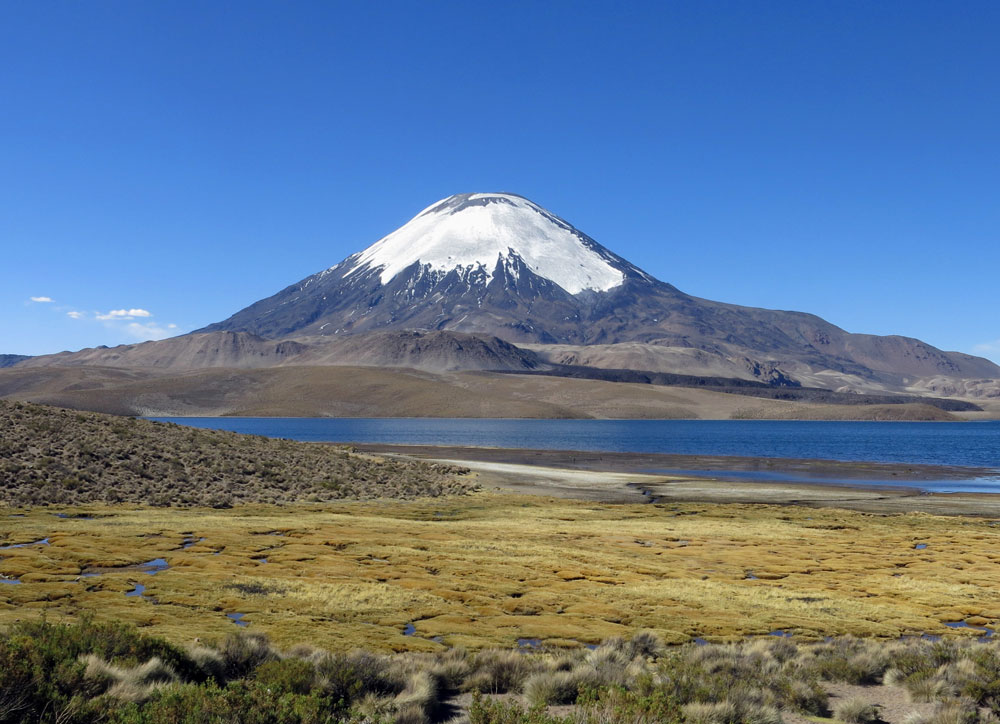
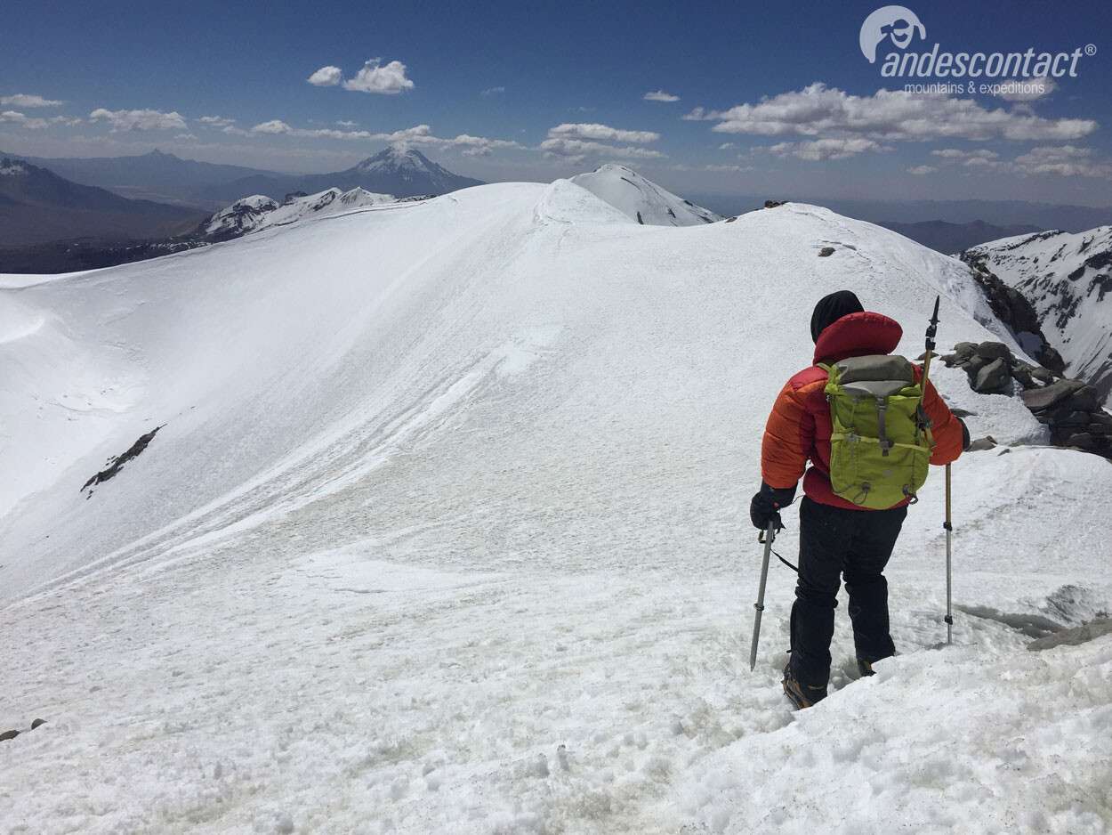
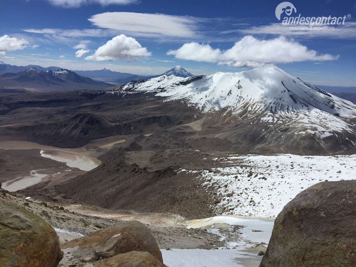
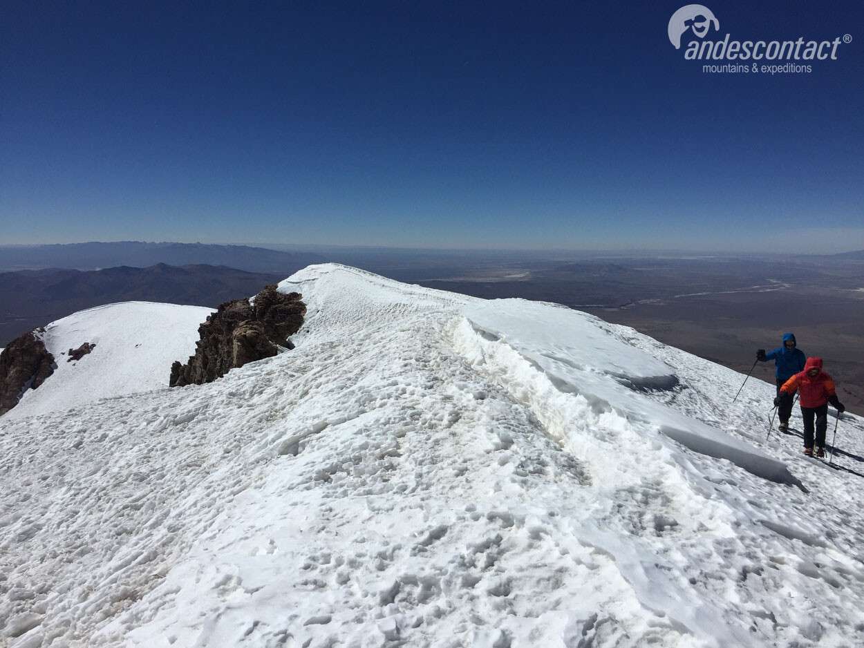
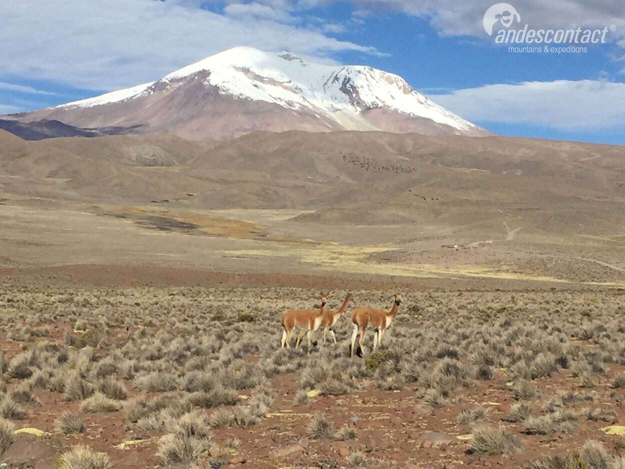
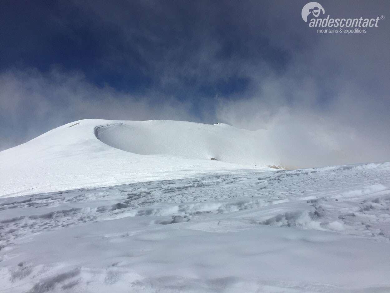
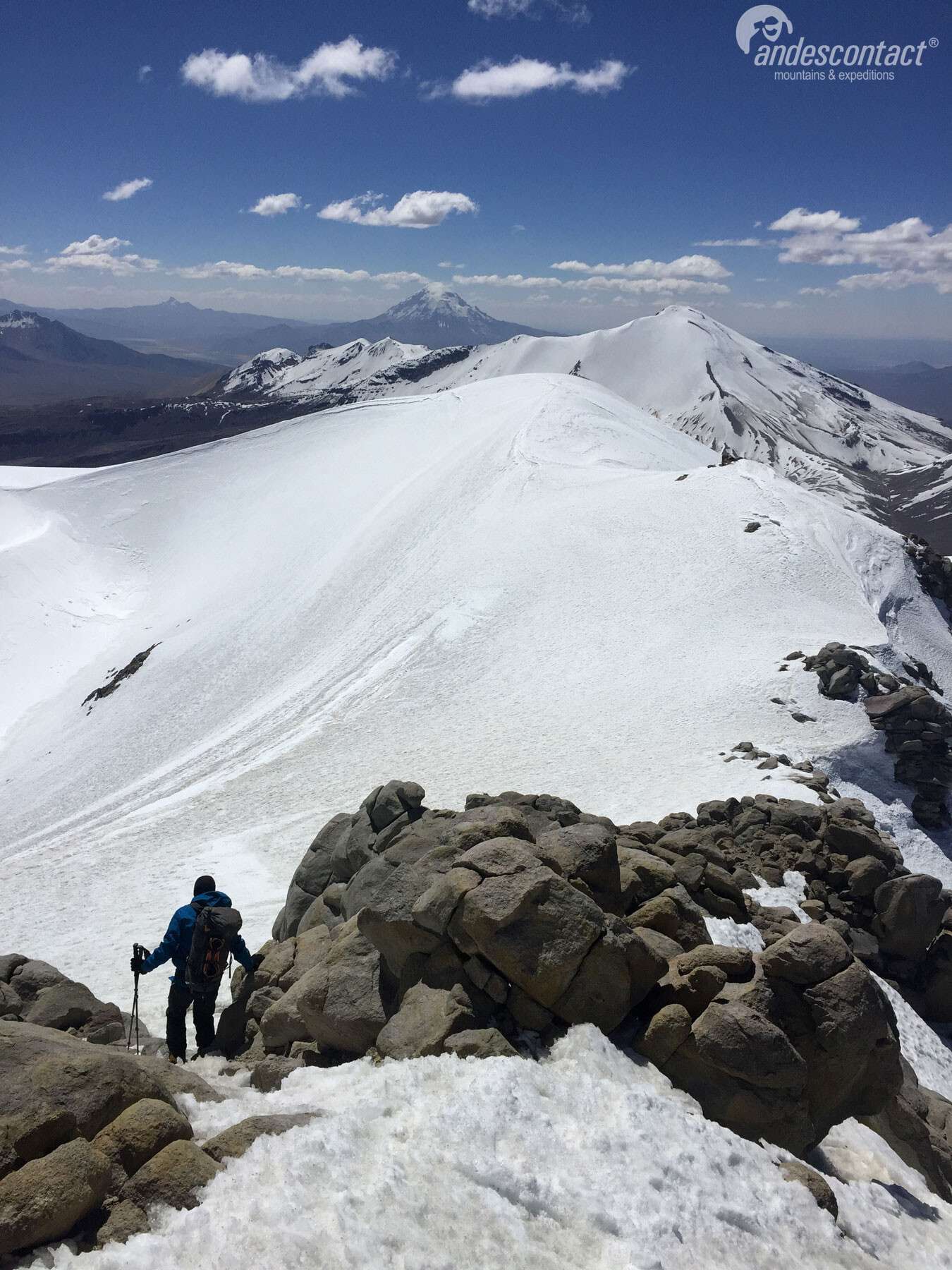
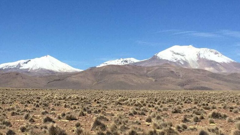
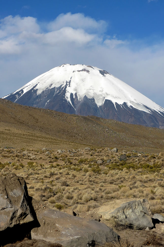
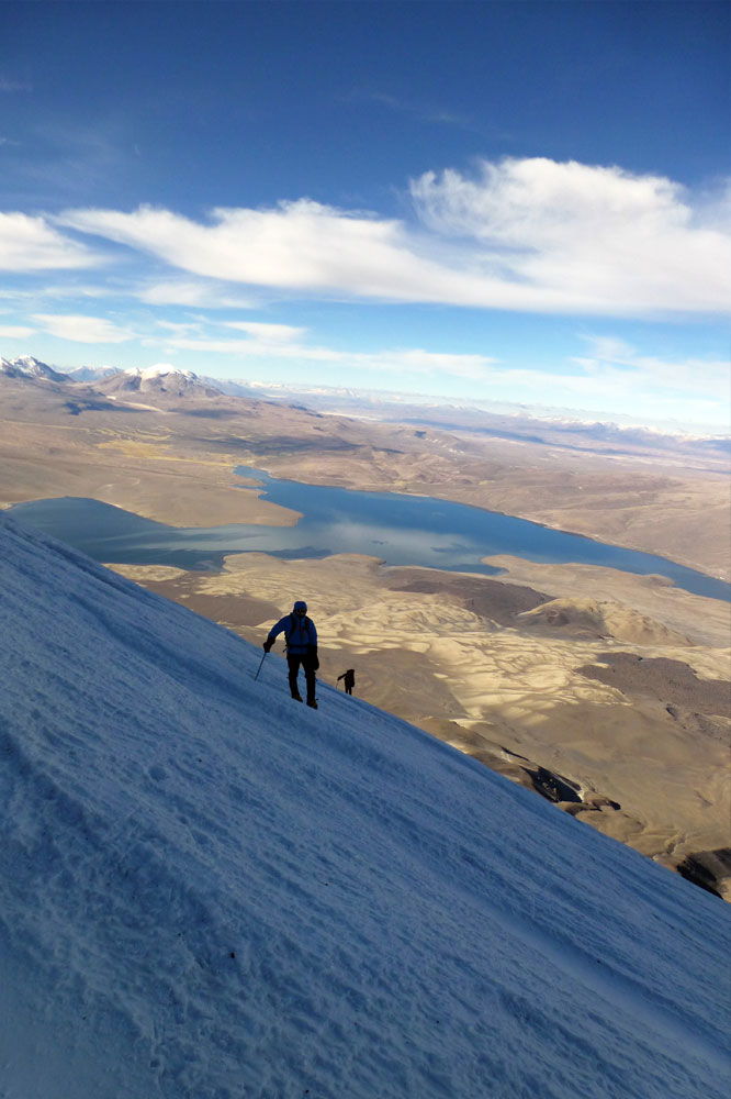
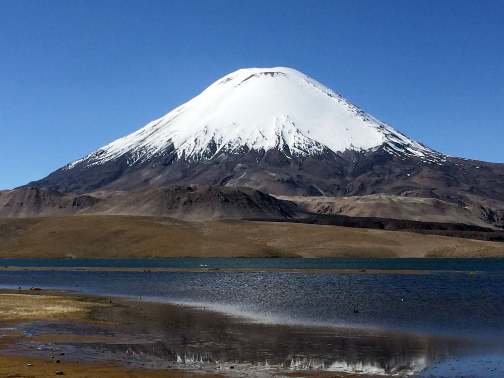
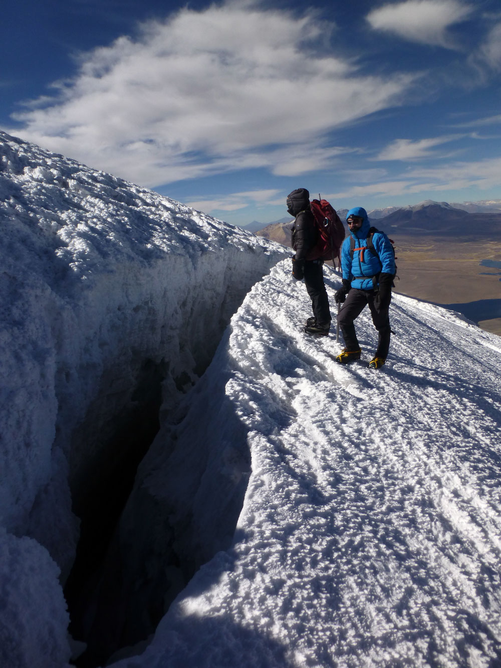
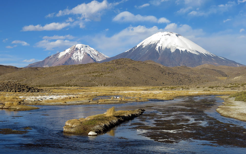
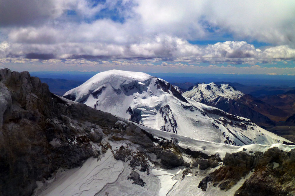
Julio-agosto: volcanes Parinacota y Acotango
Volcán Parinacota, 6.376 mts – volcán Acotango 6.053
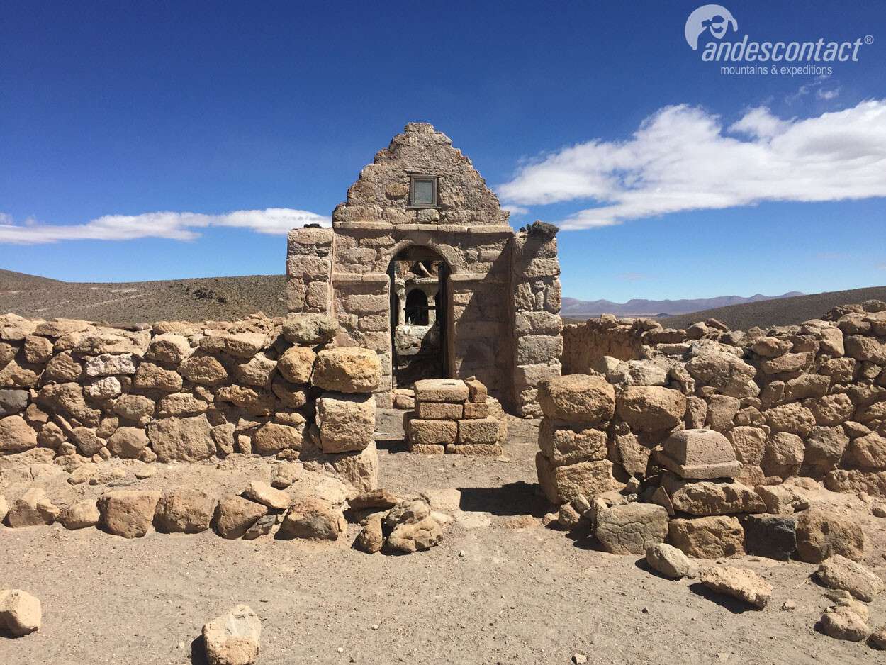
Programa doble de ascenso a los volcanes Parinacota y Acotango, desde Bolivia, comenzando desde hostal en Sajama.
Julio-agosto: volcanes Parinacota y Acotango Read More »


